.webp)
Magnitude 7.3 Earthquake Strikes Indonesia
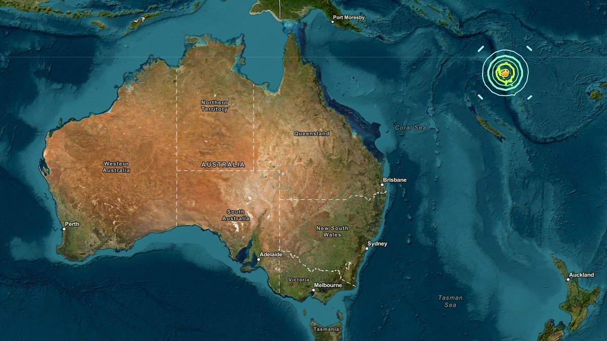
A magnitude 7.3 earthquake struck near Indonesia on Thursday, causing significant concern across the region. The quake occurred at a depth of 10 kilometers, approximately 100 kilometers from the city of Makassar. This seismic event has raised alarms due to its potential impact on nearby coastal areas.
What happened
The earthquake hit at 3:45 PM local time. The epicenter was located in the Makassar Strait, an area known for seismic activity. Initial reports indicate that there were no immediate reports of casualties or major damage, but authorities are assessing the situation. Tsunami warnings were issued but later lifted.
Why this is gaining attention
This earthquake is gaining attention due to its strength and proximity to populated areas. Indonesia is part of the Pacific Ring of Fire, where tectonic activity is common, but a quake of this magnitude can have serious implications for infrastructure and safety. The region's vulnerability to earthquakes makes this event particularly noteworthy.
What it means
The earthquake highlights ongoing geological risks in Indonesia and surrounding countries. Authorities are likely to increase monitoring and preparedness measures in response to the quake. The event serves as a reminder of the need for robust emergency response plans in earthquake-prone regions.
Key questions
- Q: What is the situation?
A: A magnitude 7.3 earthquake struck near Indonesia, with assessments ongoing for damage and casualties. - Q: Why is this important now?
A: The earthquake's strength and location raise concerns about safety and preparedness in a seismically active region.


 English (US) ·